Policymakers and investors in water stressed regions routinely approve projects, set tariffs, and allocate drought relief without knowing how much groundwater remains underground. They do not know how much water a city consumes in real time or whether a river is safe to drink from. A joint 2019 report by the World Bank and the Global Water Partnership found that over 60 percent of countries have inadequate hydrological measurement stations. In most of the world, the basic readings needed to manage water are simply not being taken.
The consequences show up as misallocated capital and failed infrastructure. A reservoir built on outdated rainfall data may never fill. A desalination plant sized to historical consumption patterns may sit idle if demand shifts. A 2019 World Bank estimate projected that improving water resource management could generate economic benefits valued in the trillions of dollars globally. That estimate depends entirely on closing the data gap first.
The data most critically missing falls into two categories: groundwater levels and water quality metrics, plus a third that is absent in all but the wealthiest cities: real time consumption. Groundwater is invisible and poorly measured. Consumption is tracked by meter in a handful of rich-world utilities and guessed at elsewhere. Water quality is tested sporadically if at all. Together, these gaps leave decision makers blind to the resource they are supposed to manage.

The Three Gaps That Matter Most
Groundwater: the invisible deficit
Groundwater supplies roughly half the world's drinking water and more than 40 percent of irrigation water, according to UNESCO estimates widely cited in the sector. Yet measurement boreholes are sparse in most nations and absent in many of the most water stressed regions. Without borehole data, governments cannot tell whether an aquifer is being depleted faster than it recharges. Farmers drill deeper, energy costs rise, and the water table falls further. The cycle continues until wells run dry and land subsides. Both outcomes are irreversible on human timescales.
Real time consumption: the meter gap
Smart meters and networked sensors are common in utilities across Europe, North America, and parts of East Asia. Companies like Xylem, Suez, and Veolia have built significant digital water divisions that deploy these tools, but almost exclusively in urban utilities in developed nations. In most of Africa, South Asia, and Latin America, water consumption is estimated from bulk supply figures or not tracked at all. A utility that does not know when and where water is used cannot reduce leakage, price water efficiently, or plan for peak demand.
Water quality: the testing lottery
Surface water quality observation requires regular sampling and laboratory analysis. The World Bank and Global Water Partnership report found that surveillance is inadequate in over 60 percent of states. That means contamination events go undetected until people get sick. Industrial discharges, agricultural runoff, and untreated sewage enter rivers and lakes without any agency recording the load. The public health cost is borne by communities that never learn what they are drinking.
Barriers That Keep the Data Dark
The reasons tracking is so poor are not purely technical. Institutional barriers are at least as important. In many states, water data is collected by multiple agencies that do not share information. A ministry of agriculture may measure soil moisture, an environmental agency may observe river flow, and a municipal utility may track billing. None use the same formats, and none are required to publish their data. The result is fragmentation that makes national or regional assessments impossible.
Cost is a second barrier. A hydrological station costs tens of thousands of dollars to install and thousands per year to maintain. In states where budgets are tight and water is not a political priority, those stations are not built or are allowed to fall into disrepair. A third barrier is the lack of standardized data formats and sharing protocols. Even where data exists, it is often stored in proprietary systems or paper records that cannot be combined with other datasets. The World Economic Forum has consistently ranked water crises among the top five global risks by impact in its annual Global Risks Report for much of the 2010s and 2020s. That risk ranking has not translated into equivalent spending on measurement infrastructure. Cross border water management, which requires shared understanding of river flows, aquifer levels, and quality across national boundaries, is nearly impossible under these conditions. The United Nations launched the SDG 6 Global Acceleration Framework in 2020, which includes data and information as one of its five key accelerators for achieving water and sanitation goals. But the framework has no enforcement mechanism, and adoption of common standards remains voluntary.
Who Owns the Data, and Who Should
The question of who generates and owns water data is becoming a geopolitical and regulatory flashpoint. Public agencies collect most hydrological data, but they often treat it as a state secret or a source of revenue. Private companies, particularly the large water technology firms, collect data from their own sensors and meters and generally keep it proprietary. Xylem, Suez, and Veolia have built significant digital water divisions, but their data is primarily used to serve their utility clients, not to inform public policy or cross border management. Startups are entering the gap. Waterplan, a company that raised funding in the early 2020s, builds corporate water risk platforms using orbital imagery and climate models. Its existence signals a growing market for water data analytics, but also a tension. If water data becomes a commodity sold to the highest bidder, the nations and communities that need it most may not be able to afford it.
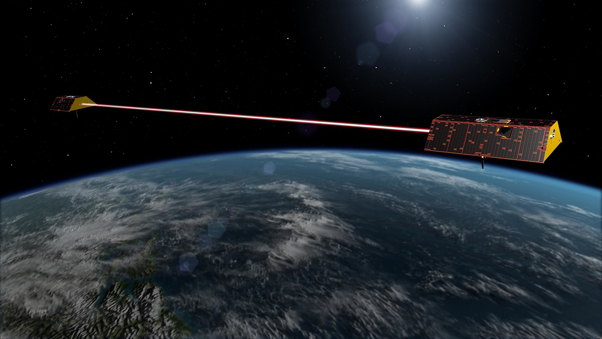
The European Space Agency offers a counter model. Its Sentinel spacecraft, part of the Copernicus programme, provide free and open Earth observation data used for tracking surface water bodies, soil moisture, and evapotranspiration. That data is public, global, and free. But orbital data has limits. It cannot measure aquifer depth, pipe flow, or chemical contamination. The most critical data still requires ground based sensors that someone must install and maintain.
The Emerging Solutions and the Funding Gap
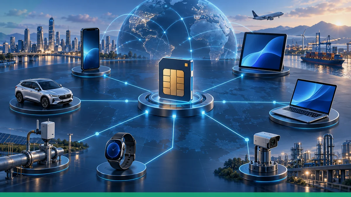
Several technologies are being deployed to fill the void. Missions like Sentinel provide regular, open access imagery of surface water extent and soil moisture. IoT sensor grids, including low cost, low power devices that transmit via cellular or orbital links, are becoming cheaper and more durable. AI driven analytics platforms can fuse orbital data, weather forecasts, and sparse ground measurements to produce estimates where direct observations are missing. Waterplan and similar startups are building these platforms for corporate clients.
But the investment landscape is uneven. The exact dollar value of the current global investment gap for water data infrastructure is not established here, but the gap is clearly large. Most capital flows to developed-country utilities and to corporate risk analytics. The territories with the weakest tracking also have the least ability to pay for new sensors, spacecraft, or analytics subscriptions. International development finance has not closed the gap. The World Bank estimate that improving water management could generate trillions of dollars in benefits has not yet translated into a commensurate flow of funding for the data infrastructure that would produce those benefits.
The geopolitical and regulatory tensions around water data control are likely to intensify. If water data becomes a strategic asset, nations may restrict its sharing. If it becomes a commodity, the poorest regions will be priced out. If it remains fragmented and proprietary, the global response to water scarcity will continue to operate in the dark. As of October 2023, none of these outcomes had been resolved. The data gap remained the primary obstacle to effective water management worldwide.
Key Facts
- Countries with inadequate hydrological monitoring: Over 60 percent, per a joint 2019 report by the World Bank and the Global Water Partnership
- Global risk ranking of water crises: Consistently among the top five global risks by impact in the World Economic Forum's Global Risks Report for much of the 2010s and 2020s
- Potential economic benefit of improved water management: Trillions of dollars globally, per a 2019 World Bank estimate
- UN framework for water data: The SDG 6 Global Acceleration Framework, launched in 2020, includes data and information as one of five key accelerators
- Public satellite data source: European Space Agency's Sentinel satellites, part of the Copernicus programme, provide free and open Earth observation data
Types of Critically Missing Water Data
| Data Type | What Is Missing | Consequence of the Gap |
|---|---|---|
| Groundwater levels | Sparse or absent monitoring wells in most water stressed regions | Aquifers depleted irreversibly; farmers drill deeper at higher cost |
| Real time consumption | Smart meters and networked sensors largely limited to developed nation utilities | Utilities cannot reduce leakage, price water efficiently, or plan for peak demand |
| Water quality metrics | Regular sampling and lab analysis inadequate in over 60 percent of countries | Contamination events go undetected; public health costs are borne without knowledge |
Frequently Asked Questions
Why is groundwater data so hard to collect?
Groundwater is invisible and requires borehole monitoring wells that cost tens of thousands of dollars to install and maintain. In many water stressed countries, those wells do not exist or have fallen into disrepair.
Who owns the water data that is collected?
Public agencies, private water technology firms like Xylem, Suez, and Veolia, and startups like Waterplan all generate and hold water data. Ownership is often proprietary, and data sharing across agencies and borders is rare.
Can satellites solve the water data problem?
Satellites like the European Space Agency's Sentinel provide free, open data on surface water extent and soil moisture, but they cannot measure groundwater depth, pipe flow, or chemical contamination. Ground based sensors remain essential.